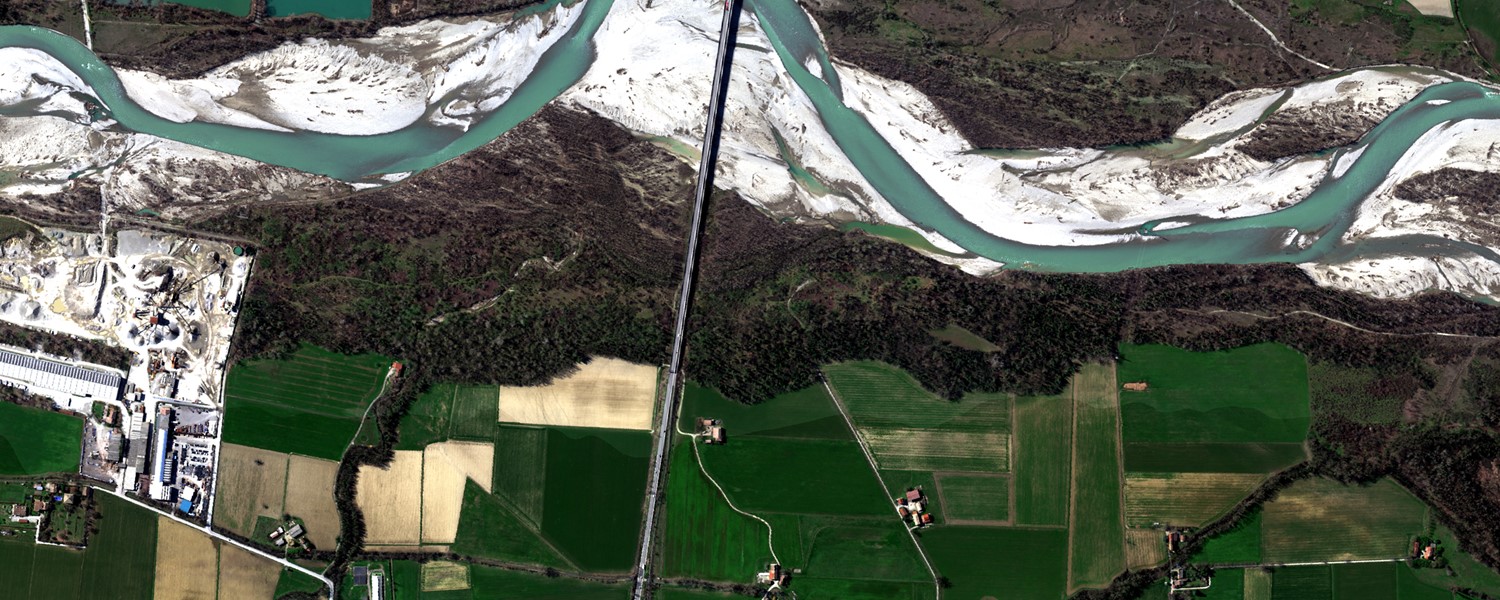
ATCOR 4 - for Airborne Remote Sensing Systems
Atmospheric & Topographic Correction for wide FOV airborne optical scanner data
The airborne ATCOR® (ATCOR-4) is used for atmospheric correction of small and wide FOV sensors. For computational efficiency, there are separate modules for flat and rugged terrain imagery. A large "monochromatic" database of atmospheric correction functions comes with the ATCOR-4 model. The database was compiled with the Modtran®-5 code (DISORT, 8 stream option). It comprises the altitudes 0 km to 10 km and 20 km (1 km increment, with occasional larger gaps). For a given sensor and range of operating altitudes, the corresponding altitude files from the monochromatic database have to be resampled with the spectral filter functions of all channels.
The achievements of ATCOR-4 are:
- Implementation of an atmospheric/topographic correction algorithms for airborne scanner data for the solar (0.35-2.55 um) and thermal (8-14 um) spectral region
- solar region: calculation of surface reflectance cube
- thermal region: calculation of surface (brightness) temperature & emissivity
- Self-contained determination of aerosol map and spatial water vapor map.
- Haze and cirrus cloud removal (low altitude haze)
- Inflight sensor calibration using ground reference targets
Besides atmospheric correction, the surface reflectance cube retrieved from airborne data may be used to simulate top-of-atmosphere (TOA) radiance scenes with an ATCOR-4 add-on module. This is a convenient way to provide realistic data for a spaceborne version of an airborne instrument. Atmospheric parameters and the solar geometry can be varied and the resulting effect can be observed in the TOA radiance scene. After calculating the TOA radiance cube from hyperspectral imagery there is the possibility of synthesizing new hyper- or multi-spectral scenes with appropriate spectral resampling.
